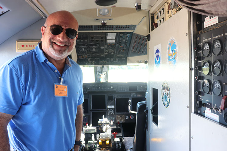
Image: Burt Dicht inside NOAA Gulfstream IV
Story and photos by Burt Dicht, NSS Managing Director of Membership
On June 25 I had the unique opportunity attend the Falcon Heavy launch of the newest weather satellite of the National Oceanic and Atmospheric Administration (NOAA), as well as tour their Gulfstream IV aircraft which they use to monitor hurricanes.
Hurricane Beryl marked the start of the 2024 Atlantic hurricane season as the earliest recorded Category 5 hurricane. This season, the NOAA predicts the potential for 14-21 named storms, 7-13 hurricanes, and 4-7 major hurricanes (Category 3 or higher), indicating a significantly above-normal activity level. To monitor and understand these storms’ potential impacts, NOAA employs an array of advanced tools and assets that track changes in climate, weather, oceans, and the coasts.
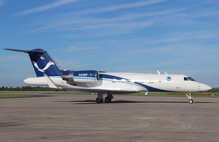
The day began with the arrival of the NOAA Gulfstream IV-SP (G-IV) aircraft at the Kennedy Space Center’s Shuttle Landing Facility.
This G-IV, named Gonzo, is outfitted with advanced instruments such as GPS dropwindsondes and tail Doppler radar, which are crucial for collecting atmospheric data. Unlike other aircraft that might fly through hurricanes, the G-IV operates around and above them at altitudes up to 45,000 feet. Its primary mission is to gather data around developing hurricanes, providing a detailed picture of upper-atmosphere weather systems and transmitting this information to meteorologists on the ground.
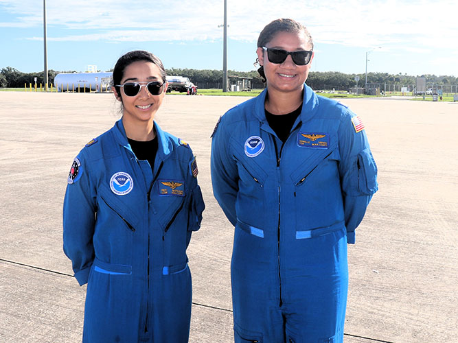
The data collected by the G-IV enables forecasters to map the steering currents that influence hurricane movement, which is vital for predicting storm paths. Touring the G-IV and its sophisticated equipment offered a valuable glimpse into how NOAA protects lives and property from extreme weather. During the tour, I had the chance to speak with the G-IV pilots and several NOAA scientists, who described the intense training required to safely fly near these storms and gather critical data. It’s reassuring to know that these experts are out there on the front lines of severe weather systems. Shown below are G-IV Pilots Lt CDR Bhatnagar (left) and CDR Varwig, the aircraft commander.
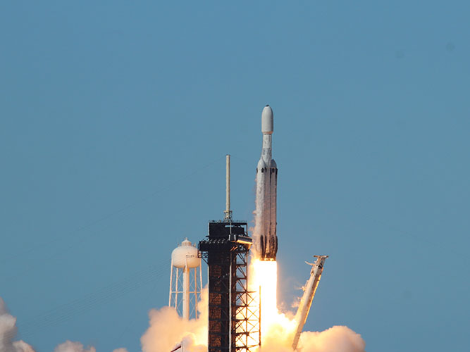
Later that day, I witnessed the launch of NOAA’s newest weather satellite, the GOES-U. This satellite is the fourth and final installment in the Geostationary Operational Environmental Satellites (GOES) – R Series. The GOES-R Series provides advanced imagery and atmospheric measurements, real-time lightning mapping, and observations of the Sun and space weather. GOES-U is NOAA’s most advanced satellite to date. Upon reaching its geostationary orbit at 22,236 miles above Earth, it will be renamed GOES-19. After a thorough checkout and validation of its instruments, GOES-19 will replace GOES-16 in mid-2025.
The launch took place at 5:26 pm EDT on a SpaceX Falcon Heavy from NASA’s Kennedy Space Center LC-39. Despite having to dodge a few storms, the launch controllers managed to execute a picture-perfect launch. It was thrilling to witness this significant event firsthand.
Witnessing NOAA’s cutting-edge technology and dedicated professionals in action was an enlightening experience. These efforts are crucial in enhancing our understanding and preparedness for the hurricane season ahead.

